Boulder has a new plan for Iris Avenue that includes removing one travel lane for cars and building a new, two-way, protected bike path along the roadway's north side. The city is seeking feedback on the design, one of the highest profile "road diets" since the infamous and short-lived right-sizing of Folsom nearly a decade ago.
Once the top U.S. city for cycling, as determined by nonprofit PeopleForBikes, The People’s Republic is currently 34th. Boulder isn’t even the best biking city in Colorado, bested by both Crested Butte and Aspen.
Boulder’s lowest scores are around access to transit hubs as well as places that serve basic needs, like hospitals and grocery stores.
To address those deficiencies (and hopefully reverse its decline in the rankings), Boulder City Council identified 13 individual corridors where the city will focus its transportation efforts over the next several years. Known as the Core Arterial Network, three of these streets are priority corridors for improved walk, bike and transit infrastructure: Baseline Road, Iris Avenue and Folsom Street.
Faster, cheaper, safer
Along with the continuing work on improving Baseline — which included installing concrete barriers along the bike lanes — the focus is now on Iris between Broadway and 28th Street/U.S. 36. The city recently released its preferred plan for a redesign of Iris, which would remove one of the street’s four vehicle lanes and add a protected bike lane on the roadway’s north side, from Folsom to Broadway.
[caption id="attachment_107388" align="aligncenter" width="656"] Courtesy: City of Boulder[/caption]
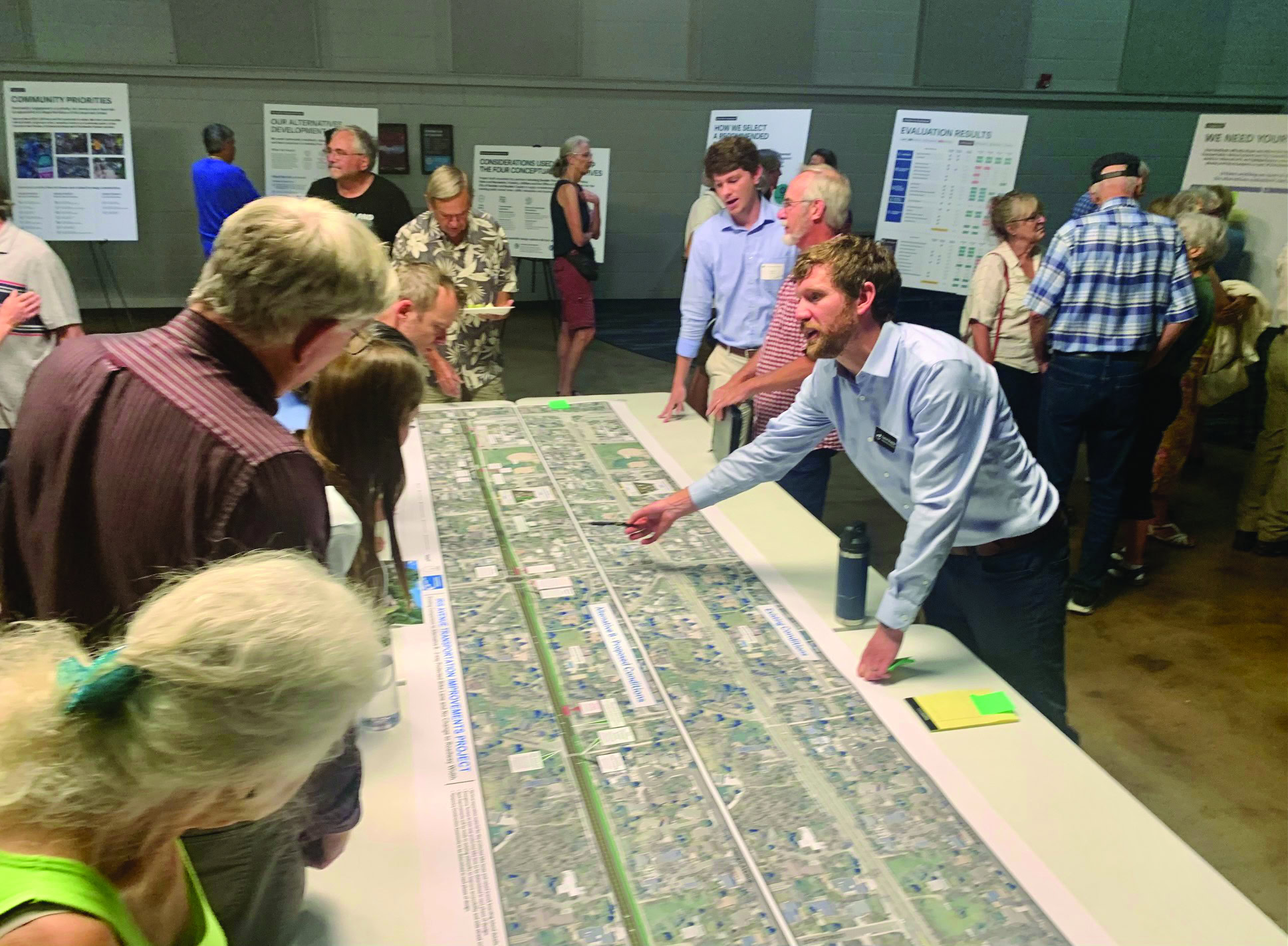
The design was one of four unveiled by city officials April 30. Feedback on the options was collected through May 27; an online questionnaire pertaining to the current design plan is available to the public until mid-August.
Community Cycles, which provide feedback and commentary on Boulder’s walking and biking infrastructure and policies, praised the plan — referred to as Option B — on its website. When the organization’s advocacy committee met in early June to discuss the four alternatives, they backed the two with lane conversions.
Sue Prant, Community Cycle’s executive director, noted in an interview that Options C and D require the city to acquire property easements to widen the street, adding millions of dollars to the eventual cost.
“That estimated $20 million cost today [for those options] is $135 million by the time the work is finished, based on CDOT estimates,” she said. “It could take 20 years.”
Removing a traffic lane, meanwhile, “will be complete in under three years at a cost of $5 million,” Prant said. “So A or B would represent considerable savings in cost, time and lives. People get hurt when you don’t fix the road.”
Dangerous road
There were 345 crashes along Iris Avenue from 2016 through 2023, according to city transportation officials, roughly 43 per year. Six resulted in serious injury; 22 involved pedestrians or bicycles, and 45% of ped/bike crashes were near the intersection of 26th and Folsom.
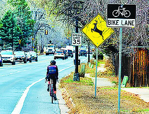
[caption id="attachment_107389" align="alignleft" width="300"] Iris Avenue currently has one unprotected bike lane on either side. Credit: Richard Kiefer[/caption]
“In all cases involving people walking or biking,” transportation officials wrote in response to emailed questions, “the person driving was at fault for not yielding at intersections or driveways.”
Evaluation of Option B showed the potential for a 25-50% reduction in crashes, city officials said. It could also reduce the severity of crashes at intersections.
In a post following the city’s selection of Option B, Community Cycles expressed hope for further “road diets.”
“If we can reduce travel lanes on Iris and the world doesn’t come to an end, it will allow us to consider similar treatments on unnecessarily large, fast roads, many that carry less traffic than Iris,” the post reads. “4-to-3 conversions will no longer be a third rail in Boulder traffic planning.”
Slower going
Boulder’s infamous “right-sizing” of Folsom Street nearly a decade ago was reversed when drivers complained about congestion. Like that roadway, the redesigned Iris Avenue will feature one vehicle lane in each direction with a turning lane in the center.
According to analysis shared by the city, the Iris Avenue redesign could potentially add two minutes of travel time for cars. That is the maximum estimate; an average trip could be extended by 3-46 seconds. The majority of cars should be slowed by anywhere from two seconds to just under a minute.
“Every alternative will have increased travel time, depending on the time of day and direction of travel,” city transportation spokesperson Aisha Ozaslan wrote. That’s in part due to speeding, she said.
“While the potential travel time changes may feel impactful to some,” Ozaslan wrote, “the four alternatives prioritize safety for all.”
The design will be “refined” to incorporate community feedback, according to Ozaslan, then reviewed by the Transportation Advisory Board (TAB). TAB will make a recommendation to city council for approval. If approved, the design will be finalized in 2025.
Shay Castle contributed reporting.
